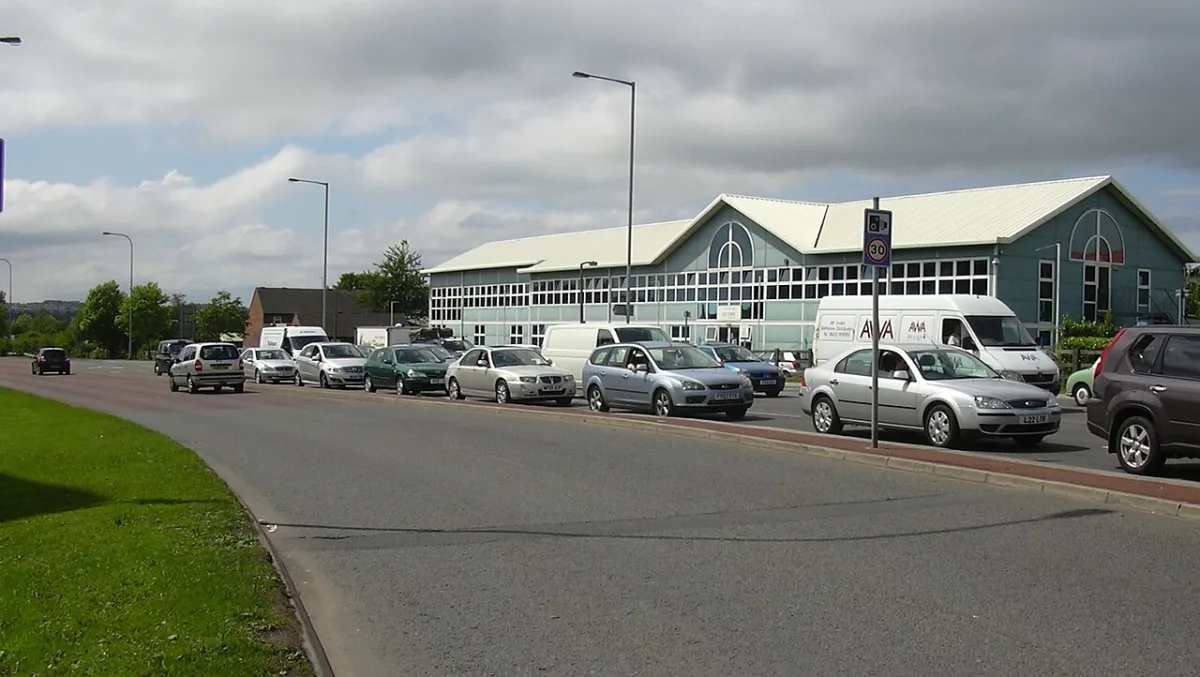

The M66 southbound shuts on Thursday, Friday and Monday nights. M60 junction 17 slips close 6 to 9 October, then junctions 17 to 18 shut 10 to 12 October.
The biggest Bury roadworks in the coming week are night closures on the M66 and at junction 17 of the M60. The M66 southbound is shut from junction 4 to the M60 clockwise at junction 18 from 9pm to 6am tonight, Thursday 1 October, and again on Friday night. Junction 4 is Simister Island, the southern end of the M66.
On Monday 5 October the M66 southbound shuts between junctions 2 and 3 from 9pm to 6am. Then the M60 junction 17 slip roads at Whitefield close one at a time on the nights of Tuesday 6 to Friday 9 October. The full weekend closure of the M60 between junctions 17 and 18 follows on Saturday 10 to Monday 12 October.
The rest of the week:
- To Friday 2 October: no trams run between St Peter’s Square or Market Street and Piccadilly.
- To Friday 2 October: Ramsbottom Lane in Ramsbottom is shut for United Utilities repairs, and buses use the stops on Bridge Street.
- To Tuesday 6 October: Heywood Road in Prestwich stays shut while United Utilities repairs the collapsed sewer under it.
- From Monday 12 October: Bury Council has full closures booked on Bury Old Road in the Holyrood ward and on Thatch Leach Lane in Whitefield, both to 24 October.
This page is checked and rewritten each week. Everything below was verified on Thursday 1 October 2026 against the source that publishes it.
Where to check first
- Greater Manchester roadworks map is the live one. It shows every set of works in the borough, who is carrying them out and the likely delay. It covers utility works, which are the ones that appear overnight with no warning.
- Bury Council road works and closures now just points to that map and to the council’s resurfacing list.
- National Highways handles the M66, M60 and M62. The council has nothing to do with those and its page will not list them. The closure report is a spreadsheet, rebuilt most days, with a sheet for each of the next seven nights.
- TfGM travel alerts for trams, buses and lift failures at individual stops.
What is shut, and when
The M66 and the M60 at night
All of these come from National Highways’ 7 day closure report covering Wednesday 30 September to Tuesday 6 October. Each runs from 9pm to 6am the next morning.
| Night | What is shut | Why |
|---|---|---|
| Thursday 1 October | M66 southbound, junction 4 to the M60 clockwise at junction 18 | Simister Island rebuild |
| Friday 2 October | M66 southbound, junction 4 to the M60 clockwise at junction 18 | Simister Island rebuild |
| Monday 5 October | M66 southbound, junction 2 to junction 3, with the junction 2 entry slip and junction 3 exit slip | Cutting and planting |
| Tuesday 6 October | M60 clockwise junction 17 exit slip | Simister Island rebuild |
National Highways’ Simister Island closures page adds three more slip road nights at junction 17 that the report does not reach yet. It does not give their hours.
- Wednesday 7 October: M60 anticlockwise junction 17 exit slip. The diversion runs on to junction 16, then back clockwise to junction 17 and the A56.
- Thursday 8 October: M60 clockwise junction 17 entry slip. You join the M60 anticlockwise to junction 16, then turn back clockwise through junction 17.
- Friday 9 October: M60 anticlockwise junction 17 exit slip again, with the same diversion as Wednesday.
On Tuesday, when the clockwise exit slip is shut, the diversion runs on to junction 18 at Simister and back to junction 17. Junction 17 is the Whitefield junction, where the M60 meets Bury New Road (A56).
Heading north from Bury on Friday night? National Highways has also booked the A56 southbound entry slip at Bent Gate shut from 9pm to 6am, for permanent barrier work on the M66 north of junction 1. Bent Gate is in Haslingden, Rossendale, north of Ramsbottom and outside the borough.
The M60 at Simister Island, shut 10 to 12 October
The Simister Island page calls this the second gantry demolition weekend. The M60 between junctions 17 and 18 closes:
- Anticlockwise (westbound) from 10pm on Saturday 10 October to 6am on Monday 12 October, a 32-hour closure
- Clockwise (eastbound) from 11.59pm on Saturday 10 October to 6am on Monday 12 October, a 30-hour closure
The published diversions are both five miles:
- Clockwise, heading for Simister: leave at junction 17, take Bury New Road (A56), turn left on to Scholes Lane (A6044), continue to Middleton Road (A576), follow it to junction 19, then join the M60 anticlockwise back to junction 18.
- Anticlockwise, heading for Whitefield: from the M62 westbound, join the M60 clockwise to junction 19, take Middleton Road (A576), turn right on to Sheepfoot Lane (A6044), then right on to Bury New Road (A56) to reach junction 17.
Both run along Bury New Road through Prestwich. The first weekend, 26 to 28 September, also shut the link from the M60 clockwise on to the M66 northbound. The closure report does not reach 10 October yet, so we cannot say whether that link shuts again. A 50mph limit applies through the works at all other times.
The tram
All of these come from TfGM’s tram improvement works page. None of them stop trams reaching Bury, but they change the journey once you are in Manchester.
- To Friday 2 October. No trams run between St Peter’s Square or Market Street and Piccadilly. Altrincham to Bury trams run via Market Street but do not call at Piccadilly Gardens or Piccadilly.
- Sunday 11 October, before 10am. No trams run through Victoria. A replacement bus runs between Victoria and Piccadilly until 11am.
- Monday 19 October to Sunday 1 November. No trams run on the Eccles, Trafford Centre or Altrincham lines while Deansgate-Castlefield and Trafford Bar are rebuilt. TfGM’s major works page says Bury to Ashton-under-Lyne trams keep running, with Bury to Etihad Campus trams at peak times.
- Monday 2 to Wednesday 4 November. Bury to Altrincham trams divert through the city centre via Exchange Square while the new track is tested.
Our guide to the 14 September changes sets out the new Bury to Ashton pattern.
Lifts on the Bury line. TfGM’s travel alerts page lists the Bury-bound platform lift at Heaton Park as out of service “until further notice” while it is replaced, from 29 July. The Manchester-bound lift there is working. No lift fault is listed at Besses o’ th’ Barn today. Prestwich stop has improvement works to 12 October, which TfGM says do not affect trams. If you need step-free access, ring TfGM on 0161 244 1000 before you travel.
What is shut on the roads
Heywood Road, Prestwich, to 6 October
Heywood Road is closed at the Heys Road junction after a sinkhole opened on Tuesday 15 September. United Utilities has said its engineers are repairing a collapsed sewer under the road. The permit on Greater Manchester road works online still runs to Tuesday 6 October. Buses divert via Bury Old Road and Heys Road, according to TfGM’s bus alerts.
United Utilities has a second permit on Heywood Road, for multi-way temporary lights from 12 to 23 October. The permit does not say whether that is the same job. We have set out the earlier permits and the bus changes in our report on the Prestwich sinkhole.
Road closures on the permit map
These are the full road closures on the Greater Manchester map in the borough, read on 1 October. The dates are the permit windows. Work does not always run for the whole window.
| Street | Area | Who | Permit window |
|---|---|---|---|
| Ramsbottom Lane | Ramsbottom | United Utilities, urgent | to 2 October |
| Queens Drive | Prestwich | Bury Council | to 2 October |
| Rochester Avenue | Prestwich | Bury Council | to 2 October |
| Delph Lane | Radcliffe | Bury Council | to 2 October |
| Ganton Avenue | Whitefield | Bury Council | to 7 October |
| Mountside Crescent | Prestwich | United Utilities | 5 to 7 October |
| Downham Crescent | Prestwich | Bury Council, emergency | to 9 October |
| Polefield Grange | Prestwich | Bury Council | to 9 October |
| Carr Street | Ramsbottom | Event closure | Sunday 11 October |
| Pine Street | Radcliffe | EE | 12 to 14 October |
| Whittaker Street | Radcliffe | Bury Council | 5 to 16 October |
| Maple Avenue | Whitefield | United Utilities | to 16 October |
| Bury Old Road | Holyrood ward | Bury Council | 12 to 24 October |
| Thatch Leach Lane | Whitefield | Bury Council | 12 to 24 October |
| Buckley Street | Moorside, Bury | Bury Council, emergency | to 30 October |
Temporary lights the permits show this week:
- Bury New Road, Whitefield, BT, multi-way lights 1 to 5 October. TfGM says the bus stops at the Moss Lane junction are closed.
- Bury Old Road, two sets: United Utilities in the Holyrood ward to 9 October, and Bury Council near Ainsworth from 1 to 23 October.
- Bolton Road, North Manor ward, United Utilities, to 4 October.
- Tottington Road, Cadent gas, to 2 November.
- High Street, Tottington, Electricity North West, 5 to 9 October.
- Dumers Lane, Radcliffe: Electricity North West’s lights end on 2 October, and a new Bury Council permit for multi-way lights runs from 12 October to April 2027.
Manchester Road night closures, still no dates
The council’s scheme page still promises “extra resurfacing works in September”, with three nights of overnight closures on Parkhills Road, Radcliffe Road and Heaton Fold. September has now ended and the page still gives no dates.
The permit map shows what is booked. Bury Council holds road-closure permits running to 9 October on Manchester Road, Parkhills Road, Radcliffe Road and Walker Street, to 11 October on Gigg Lane, and to 14 October on Richmond Street. A permit window is not a closure date. Watch for the roadside warning signs the council says go up before work starts.
Market Street is open
Bury Council announced on 21 August that Market Street has reopened after the £5.7m Fishpool phase 2 and Pimhole Bee Active Travel Scheme work on it. What has been built:
- two new pedestrian-controlled crossings
- two upgraded bus stops
- a new continuous footpath at the Bury Athletics Club entrance
- a separated walking and cycling route, widened along the full length of the street
- a new raised table at the Trinity Street junction
- resurfacing from the Angouleme Way junction to 50 metres south of Wellington Road
The money came from the government’s City Region Sustainable Transport Settlement and the Mayor of Greater Manchester’s Challenge Fund. Councillor Lucy Smith, cabinet member for environment, climate change and operations, said the changes “should make it easier and safer for people to walk, cycle or use mobility aids for everyday trips, such as going to school, work or the shops”.
The council’s old Market Street closures page, which still said the road was shut when we checked on 20 September, has now been taken down.
The long jobs behind the closures
Simister Island, to 2029/30
The Simister nights are part of something much bigger. National Highways is rebuilding M60 junction 18, the Simister Island interchange where the M60, M62 and M66 meet, which it says carries around 90,000 vehicles a day. The scheme costs £255m to £296m, started in summer 2026 and is due to finish in 2029/30. It will add a new loop between the M60 eastbound and southbound, a new two-lane free-flow road from the M60 northbound to westbound, four lanes on the M66 southbound through the junction, and a fifth lane each way between M60 junctions 17 and 18 using the hard shoulder.
For Bury drivers that means weekend and overnight closures around Simister are going to be a recurring feature for years, not a one-off week.
M62 junctions 20 to 21, to November 2026
Lane three of three is closed in both directions near Rochdale while Broad Lane bridge, which carries the B6194 over the motorway, is repaired. The hard shoulder is open in each direction, so three lanes still run, with a 50mph limit and narrow lanes. National Highways gives the scheme as running from September 2025 to November 2026, and the work covers concrete repairs to the central support, replacement central reservation barrier, resurfacing both ways and new markings.
The routes that decide your journey
Bury sits on a small number of roads that carry almost everything.
- The M66 is the borough’s spine. It runs from Simister Island north to Edenfield, where it becomes the A56. The numbering runs down as you go north: junction 4 is Simister Island itself, junction 3 is Pilsworth and Unsworth, junction 2 is the A58 for Bury and Heywood, and junction 1 is the A56 at Walmersley. So a “junction 3 to 4” closure is the southern end, nearest Manchester, and a “junction 1 to Edenfield” closure is the top.
- The A56 is the old route the M66 replaced. It runs through Whitefield as Bury New Road, becomes Peel Way around the town centre and carries on up the Irwell valley through Ramsbottom. When the M66 shuts, the A56 is what everyone diverts on to, and it does not have the capacity.
- The A58 Rochdale Road east and the A58 Bolton Road west are the cross-borough routes, and both funnel into the town centre ring.
- The M60 at junctions 17 and 18 is where Bury traffic meets the Manchester orbital. Anything wrong at Simister backs up on to the M66 within minutes, and for the next four years there will usually be something happening there.
The alternative to driving
The tram is the answer to most town centre journeys, and the park and rides are free to Metrolink passengers. Capacity, from TfGM’s own pages:
| Park and ride | Spaces | Blue badge spaces |
|---|---|---|
| Radcliffe | 458 | 22 |
| Whitefield | 318 | 13 |
| Bury Interchange | 96 | 4 |
Full fares and journey times are on the Bury tram times page. Town centre car parks and their tariffs are on the parking in Bury page.
For walking and cycling, the £3.2m Milltown Street bridge in Radcliffe opened in May 2026. It is a 50-metre single span across the River Irwell replacing the crossing destroyed by Storm Eva on Boxing Day 2015, and it sits higher than the old bridge with no supports in the river.
What it means for you
- If you head south on the M66 late on Thursday, Friday or Monday, expect it shut. Thursday and Friday it is junction 4 to the M60; Monday it is junctions 2 to 3.
- If you use junction 17 at Whitefield at night from 6 to 9 October, check which slip is shut that night. The diversions run to junction 16 or junction 18.
- If you use the M60 at Simister on 10 and 11 October, plan for Bury New Road. Junctions 17 to 18 shut both ways that weekend.
- If you take the tram into Manchester before Friday 2 October, it will not stop at Piccadilly Gardens or Piccadilly.
- If you drive through Prestwich, Heywood Road is shut at Heys Road until at least 6 October.
- If you use Bury Old Road or Thatch Leach Lane, both have closures booked from 12 October.
- If you need step-free access at Heaton Park towards Bury, there is no lift. Ring 0161 244 1000 first.
What is being spent, and where
Bury Council spends around £3.5m a year on resurfacing and £1m a year on preventative maintenance, on the argument that keeping a decent surface alive is cheaper than rebuilding a failed one. A resurfaced road is expected to last up to 20 years.
Underway or about to start in 2026/27: Green Walks, Hereford Drive and Polefield Grange in Prestwich; Leyton Drive, Peel Way and Rochdale Old Road in Bury; Harley Avenue in Radcliffe.
Planned for later in 2026/27: Hampson Mill Lane and Lakeside in Bury; Prestwich Park Road South, Queens Drive and Rochester Drive in Prestwich; Delph Lane in Radcliffe; School Lane, Springside Road and Square Street in Ramsbottom; Ganton Avenue and Parr Lane, from Sunny Bank to Kennedy Drive, in Whitefield.
Finished since April 2026: Cedar Street, Copse Drive, Ferngrove, Grosvenor Street, Spinney Drive and Stewart Street, from Walshaw Road to number 27, in Bury; Bannerman Avenue in Prestwich; George Road in Ramsbottom; Beech Avenue and Leyton Drive in Whitefield.
Behind that sits the Greater Manchester transport settlement, which has given Bury £17m for highway maintenance to March 2027, of which £4.5m is for the Key Route Network, plus £4.1m for walking and cycling in Bury town centre, £9m in Radcliffe and £2.3m in Ramsbottom. A further £81m is committed to rebuilding Bury Interchange.
Where these figures come from
- The National Highways road closure report covering 30 September to 6 October, and the Simister Island closures and diversions page, updated for 28 September to 12 October, for the junction 17 slip nights and the weekend closure.
- The M60 junction 18 Simister Island scheme page for the cost, the traffic figure and the design, and the North West maintenance schemes page for Broad Lane bridge.
- Greater Manchester road works online for every permit on the borough’s roads, read on 1 October.
- Bury Council road works and closures, its Fishpool phase 2 and Pimhole scheme page and its highway resurfacing list for the programme.
- TfGM tram improvement works, its travel alerts for lifts and bus diversions, and the park and ride pages.
- Bury Council sustainable transport fund for the settlement figures.
Closures move. This page was checked on 1 October 2026, and the live map is always the last word.
Correction, 6 September 2026. An earlier version of this page described M66 junction 2 as Whitefield and Pilsworth, junction 3 as Bury and Radcliffe and junction 4 as north Bury. That reversed the numbering. National Highways’ own closure report lists a closure of the “M66 southbound junction 4 to M60 clockwise junction 18”, and an A56 closure running “Bent Gate to M66 junction 1”, which together place junction 4 at Simister Island in the south and junction 1 at the northern end. The junction list above has been corrected.
Have your say